Pittsburgh guides: neighborhoods, census figures, radon
A map of all 90 city neighborhoods and the towns around them with the businesses inside each one, the Strip District, Lawrenceville and Squirrel Hill in census figures, and how often basement radon tests come back high in each ZIP code.
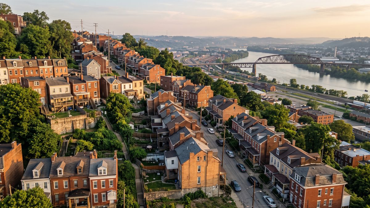
Pittsburgh Neighborhoods Map: All 90 City Neighborhoods and the Towns Around Them
Tap any of Pittsburgh's 90 official neighborhoods, or a borough or township within 12 miles, to see how many businesses from our lists are inside its line, what kind they are and which sit highest. Plus why about half the businesses with a Pittsburgh address are outside the city.
Updated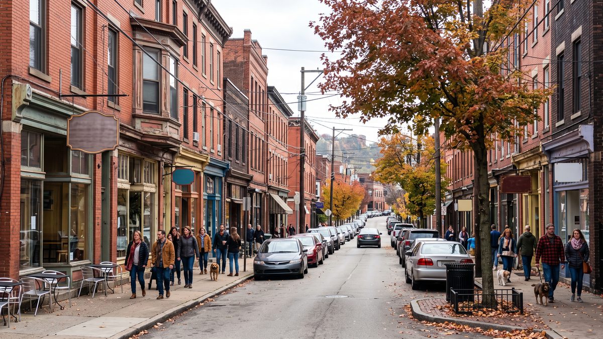
The Strip District, Lawrenceville and Squirrel Hill in Numbers
Census figures for three Pittsburgh neighborhoods, from the Strip's doubling population to Squirrel Hill's size, with the businesses from our lists inside each official boundary and a tool to set any neighborhood against the city.
Updated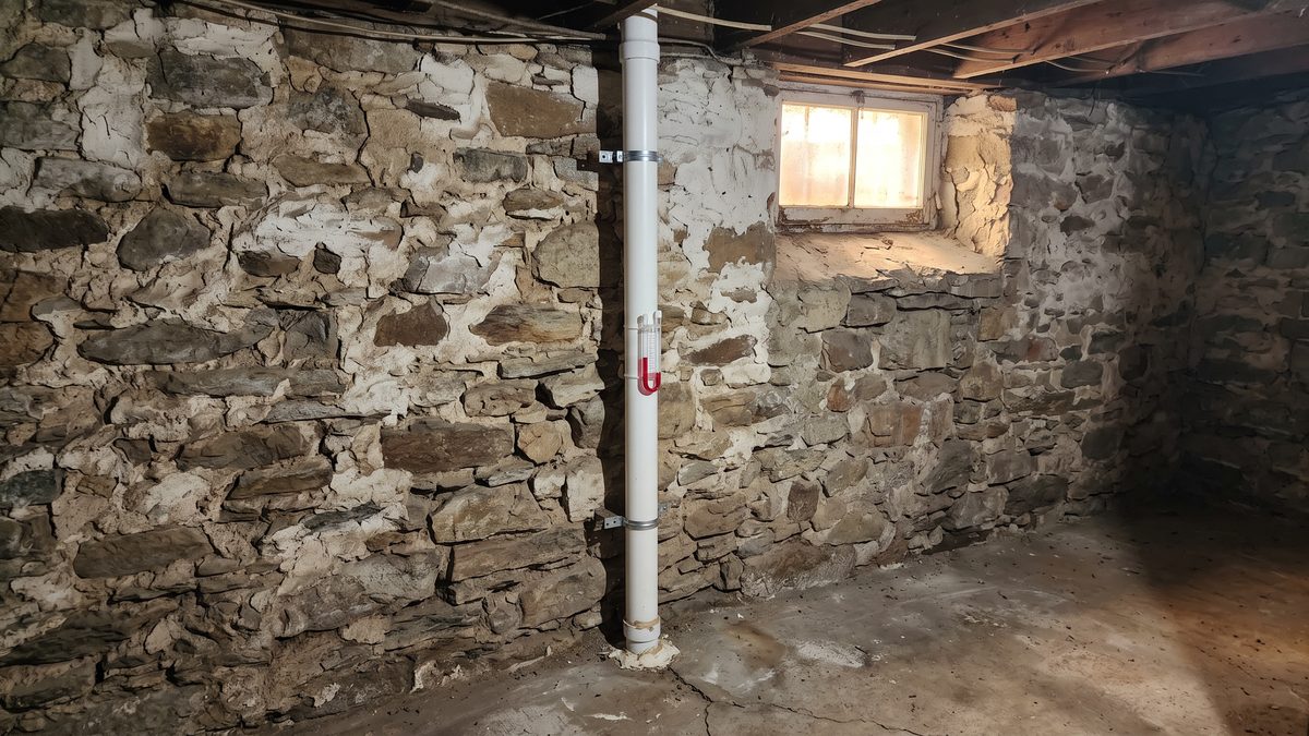
Radon in Pittsburgh by ZIP Code: How Often Basement Tests Come Back High
Type a ZIP code to see how many of its basement radon tests reached EPA's 4 pCi/L action level, from 266,247 Allegheny County tests in Pennsylvania DEP records since 1987. With DEP's advice on retesting and how to check a certified tester or mitigator.
Updated